Within ArcGIS Pro, there are two options for viewing 3D content -- global scenes and local scenes. Global scenes are most suitable when working with large extent content or when the curvature of the earth is an important factor, while local scenes are better for smaller extent content in a projected coordinate system (PCS). Another difference between these two scene options has to do with available visual enhancements. Basic illumination properties, such as ambient occlusion and light source azimuth and altitude, can be adjusted within local scenes. However, global scenes contain one additional feature where the position of the sun can be set to a specific date and time, adding more realism to the scene.
 |
| Local scene |
 |
| Global scene |
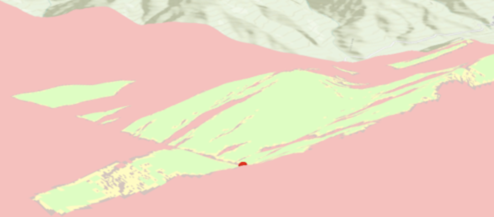
One interesting feature I learned about this week in ArcGIS Pro is the ability to link 2D and 3D views within the same project. Oftentimes, viewing a scene in 3D can reveal spatial patterns and relationships that may otherwise be difficult or impossible to identify while viewing in 2D.
 |
| Linked 2D and 3D views |
Two common types of analysis that can be performed with 3D data are line of site (LOS) analysis and viewshed analysis. Line of site analysis allows one to determine what segments are visible and what segments are not visible along a certain path or paths, whereas viewshed analysis determines what areas are visible and what areas are not visible from the point of an observer or observers across an entire landscape.
 |
| Line of sight analysis |
 |
| Viewshed analysis |


Comments
Post a Comment